Route des Grandes Alpes Road Trip Guide
TL;DR: The Route des Grandes Alpes is a 700–720 km epic from Lake Geneva to the Mediterranean, threading 17–18 iconic mountain passes (six above 2,000 m, topped by Col de l’Iseran at 2,764 m). Go June–October when high cols are open, plan fuel and lodging in valleys, and enjoy ever‑changing scenery—equally unforgettable by car, motorcycle, or bicycle.
- Route des Grandes Alpes — Quick overview
- Route & itinerary — pacing the drive
- Major passes to know — north, high‑central, south
- When to go & practical considerations
- Driving vs cycling vs motorcycling — who it suits
- Suggested photo stops & local attractions
- Ready to drive it with DRIVAR?
- Key takeaways
- FAQs
- Sources
It begins as a ribbon of tarmac unfurling from Lake Geneva and ends where the Mediterranean exhales warm, salt‑tinged air. Between those bookends lies a driver’s opera: the Route des Grandes Alpes, roughly 700–720 km of switchbacks, snow walls, and storied cols stitching the spine of the French Alps from Thonon‑les‑Bains to the Côte d’Azur. Six of those passes climb above 2,000 m, crowned by the Col de l’Iseran at 2,764 m—a sovereign among Europe’s paved summits.
Part civil‑engineering masterpiece, part pilgrimage for anyone who believes an apex can feel like a signature.
Route des Grandes Alpes — Quick overview
What it is & why it matters
This is the definitive French Alps road trip: a continuous north–south traverse that condenses glaciers, meadows, plateaus, and gorges into one flowing narrative. You come for the altitude, the succession of iconic passes, and the way light, rock, and tarmac keep changing under your wheels.
History and development
Conceived in the early 20th century as a continuous alpine itinerary, construction of the connecting roads began around 1909, and the route opened in the years just before WWI. Through the 20th century it was progressively paved and promoted, becoming the recognized touristic traverse we know today. Century‑old provenance, modern‑day driveability.
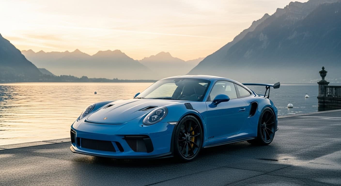
Start and end points (Lake Geneva → Côte d’Azur)
Traditionally, you roll out from Thonon‑les‑Bains on Lake Geneva and aim your bonnet south toward the Mediterranean—historically Menton and now often extended to Nice. It’s an elegant line drawn from glacier light to seafront glow.
Route & itinerary — pacing the drive
Short highlights loop
Chasing a concentrated hit of elevation and hairpins? Craft a highlights loop that samples a few signature cols, then returns you to a convenient rail or airport hub. With an overall distance of approximately 700–720 km for the full itinerary, a curated slice lets you savor the high notes without the full symphony.
Classic full‑route plan
For the complete narrative arc—from pastoral north to austere high‑central moonscapes and fragrant southern gorges—follow the official sequence of major passes across the French Alps. Expect 17–18 cols on the recognized itinerary, and brace for the altitude: six exceed 2,000 m, including Iseran, Galibier, Lautaret, Izoard, Vars, and Cayolle. The full traverse is best approached when the high passes are reliably open in summer.
Major passes to know — north, high‑central, south
Northern section — Saisies & Roselend
Col des Saisies and Cormet de Roselend introduce the route’s cadence: broad alpine meadows tightening into classic hairpins, with reservoirs mirroring fair‑weather skies.
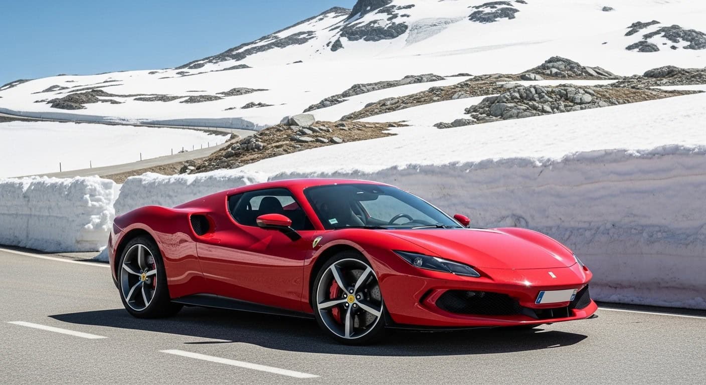
High‑central section — Iseran, Galibier, Lautaret, Izoard, Vars
- Col de l’Iseran (2,764 m): the route’s summit and one of the highest paved passes in the Alps—a monumental, high‑alpine stage where oxygen and patience thin together.
- Col du Galibier & Col du Lautaret: sweeping vistas and storied tarmac that shaped generations of mountain travel and sport.
- Col d’Izoard & Col de Vars: lunar rock gardens and fast, flowing descents—each an essay in road‑building at altitude.
Southern section — Cayolle, Bonette, Turini
- Col de la Cayolle: funnels you from bare rock into larch and limestone—an elegant transition to the south.
- Col de la Bonette/Cime de la Bonette & Col de Turini: often included on southern variants and official sequences, bending you toward the Riviera with drama to spare.
When to go & practical considerations
Pass opening dates, weather, and snow risk
This is a summer road. High cols can close outside the warm season, so the full itinerary is generally practical between June and October—always verify local pass opening dates before you commit the route to your satnav or your soul.
Accommodation, fuel, and services
Think alpine rhythm: services cluster in valleys and larger towns, while high sections are about focus and flow. Book beds in advance in peak summer, refuel when you can, and keep an eye on weather windows—not just for safety, but for the views you’ll replay for years. Planning a team experience? Consider a group incentive tour to streamline logistics.
Driving vs cycling vs motorcycling — who it suits
Who’s it for?
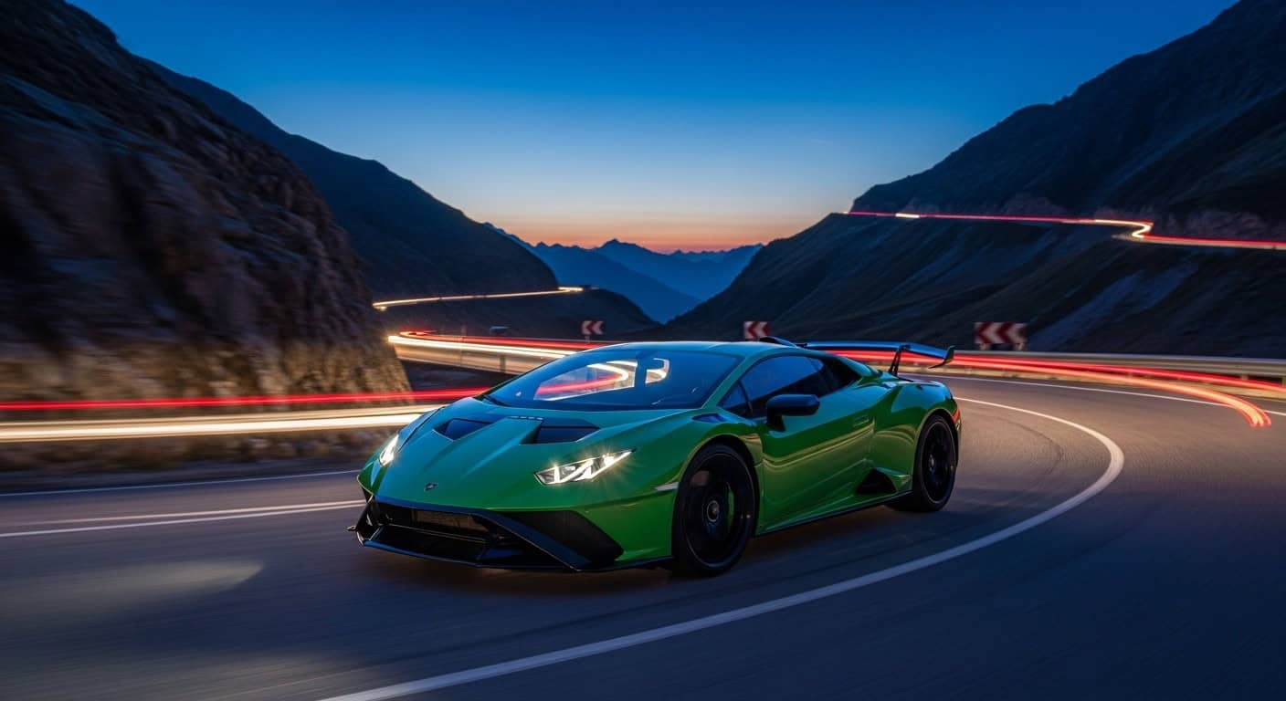
Drivers, motorcyclists, and cyclists all flock here—for the altitude, the hairpins, and the shifting palettes of rock, ice, forest, and sea. The road doesn’t pick favorites; it simply asks for respect.
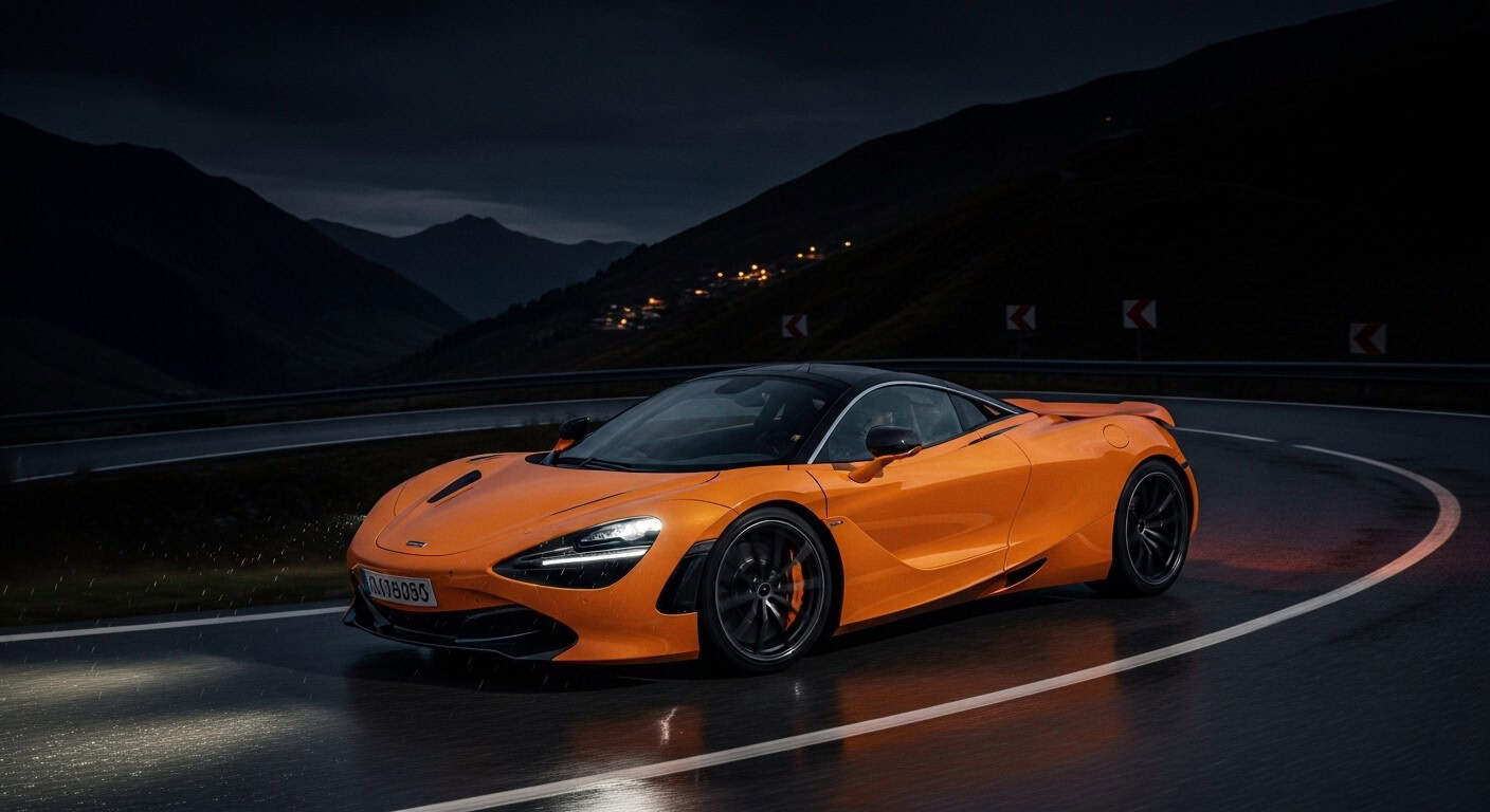
Vehicle preparation and safety tips
- Brakes and cooling in good order; the descents are long and honest.
- Tyres with enough life to enjoy cambers without a second thought.
- Patience for caravans and courtesy for cyclists; everyone’s chasing their summit.
Mapping and official itinerary
Follow the official itinerary and pass sequence published for the Route des Grandes Alpes to keep your line true from Lake Geneva to the Mediterranean. Cross‑check pass status before departure and as conditions change on the day.
Suggested photo stops & local attractions
Nature reserves and viewpoints
High passes are natural vantage points; time your stops around cols and lake dams for the widest panoramas. The route’s altitude spectrum—from meadows to stark, high‑alpine plateaus—delivers changing light and geology in the space of a morning.
Villages, museums, and alpine cuisine
Valley towns and traditional villages punctuate the route with exactly what you crave after a climb: food, folklore, and a little patina. Use them as cultural anchor points between the great cols.
Ready to drive it with DRIVAR?
Prefer your alpine epiphany with curated logistics and the right machine? Book the DRIVAR sports car tour on the Route des Grandes Alpes and focus on the drive while we handle the details. Explore more sports car tours for different regions and durations.
Key takeaways
- Circa 700–720 km traverse from Lake Geneva to the Mediterranean, packed with high‑altitude drama.
- Official route includes 17–18 major passes; six exceed 2,000 m, headlined by Col de l’Iseran (2,764 m).
- Born in the early 1900s and refined over a century—history you can drive.
- Best tackled June–October; always verify pass openings and weather.
- Iconic for drivers, motorcyclists, and cyclists—made sublime with a well‑sorted machine.
FAQs
How long is the Route des Grandes Alpes?
It’s commonly reported at approximately 700–720 km (about 440–450 miles) from Lake Geneva to the Mediterranean.
What are the start and end points?
Thonon‑les‑Bains on Lake Geneva to the Mediterranean—historically Menton, with many itineraries now extending to Nice.
How many passes does it include?
The official itinerary lists a sequence of major passes—commonly counted as 17–18 from north to south.
What’s the highest pass on the route?
Col de l’Iseran at 2,764 m—one of the highest paved passes in the Alps.
When is the route open?
Generally summer only; plan between June and October, and check current pass opening dates before you go.
Sources
- Route des Grandes Alpes — https://en.wikipedia.org/wiki/Route_des_Grandes_Alpes
- The great Alpine passes (Grand cols) — https://en.routedesgrandesalpes.com/grand-cols
- Col de l’Iseran — https://en.wikipedia.org/wiki/Col_de_l%27Iseran
- The Route des Grandes Alpes: your road book itinerary (hotelF1 / Accor) — https://hotelf1.accor.com/itineraries/road-book/road-grandes-alpes.en.shtml